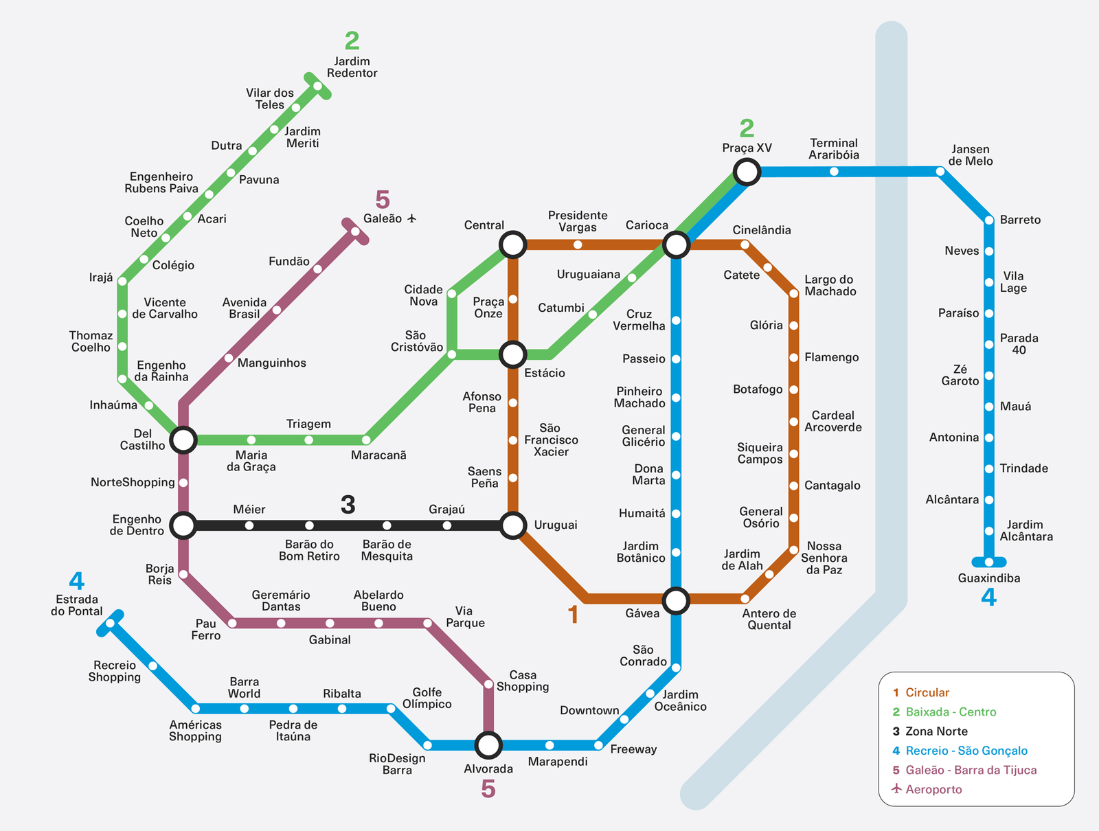
I used this project for my MA application in London. The staggering difference between the underground of both cities inspired me to imagine what would a network suitable to Rio de Janeiro’s population look like.
The underground on this map has the same per capita length as Santiago, Chile. I focused on high density areas with low public transport infrastructure.
Maps aren’t neutral representations of reality. They are tools of power that play a crucial part in projecting the future, which is always in dispute.